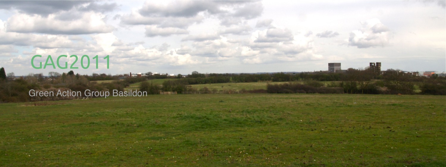
There are two consultation sessions today for people to find out more about building a vast new development between Laindon and Brentwood:
St Francis Church, West Horndon 12-4.30pm
President’s Community Centre, Hoover Drive, Laindon 4.30 – 9pm.
Only two sessions for such a large development is totally inadequate. Hopefully there will be more sessions to inform the public and not just an online response.

Where exactly will this be? Is there a map? I volunteer at the Essex Wildlife Trust in Langdon Hills and th countryside there is beautiful woodland and meadows, conservation of wildlife etc. I would like to know if anyone in the Brentwood and Basildon Councils are taking this into consideration?
Briony the councils documents with a plan of the area can be found at http://www.basildon.gov.uk/dunton It would be useful to know if there is any land owned by the trust within the boundary of the development. Any other information about biodiversity on the land would also help. There is a facebook page at https://www.facebook.com/groups/342388375964646/ where people are collecting info. The position of the councillors is that the land is just “scrubland” not needed for any agricultural or other purpose.
I would certainly love to see more recreational and sporting infrastructure in Dunton! And I certainly hope it would draw more people outside. Off to sign the petition!
C.
I believed Green Belt to be sacrosanct – obviously this isn’t the case. The A137 and A13 cannot currently cope with rush hour traffic – the other proposed developments at Rayleigh, Billericay, Dry Street, Rochford, Castle Point and the one going ahead parallel with the Ford Research Centre will exacerbate an already intolerable situation.
When will you people realise that this country is full up? If all the houses are built it will only be a temporary solution, as in future years hundreds of thousands of people will still be allowed to settle here and a green field will be a rarity.